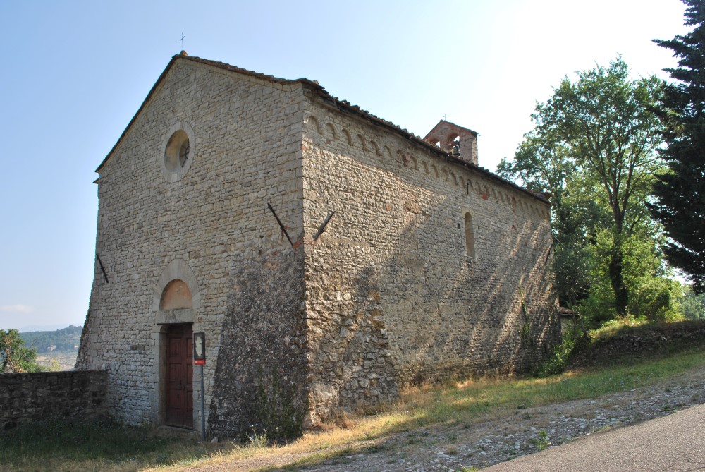
Oratory of Beato Gherardo
Church of San Tommaso a Baroncelli
Description
The Parish Church of Santa Maria
Description
Villa Il Riposo
Description
Dogs and Cats in Bagno a Ripoli: useful information and numbers
Do you live in Bagno a Ripoli with a dog or a cat? Do you want to come on holiday with your pet? Here is some information that you may find useful:
Six Trekking routes for discovering Bagno a Ripoli
Villamagna – Poggio dell’Incontro – Villamagna
Type of route: dirt road, on foot, mountain bike or horseback.
Duration: 2:30/2:45 hours
Length: 6.90 km
Ascent and descent: 275 m
The route starts from the Piazza of Villamagna (Coord. GPS N 43 ° 45’42 “E 11 ° 22’57”) where we can find the La Pieve di San Donnino (parish church of San Donnino): the Lombard-Romanesque bell tower is particularly noteworthy. From the square, you can reach the public gardens where, on the left side, a steep path leads to the L’Oratorio del Beato Gherardo (The Oratory of the Blessed Gerard), a simple stone single nave building from the fourteenth century, inside which are traces of fifteenth century frescoes and the empty ark of the Blessed Gerard, whose remains rest in the sixth-century urn preserved in the aforementioned San Donnino parish.
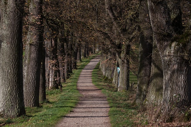
On the opposite side of the road, in front of the oratory, the trail to the l’Incontro (The Encounter) begins. Through a forest of oaks and hornbeams, with an undergrowth of broom, juniper and cistus, we go up to a junction where we turn left and follow the white/red signage; and then continue, always uphill, through the path CAI no. 4, which leads to the Convento dell’Incontro (The Convent of the Encounter) (557 meters above sea level).
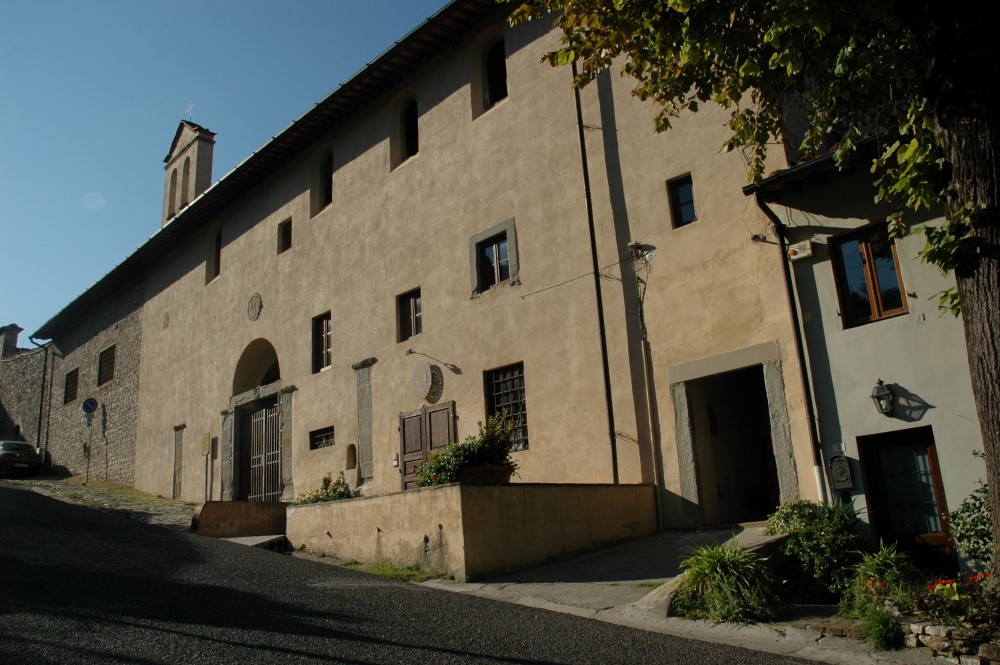
The convent, built in 1715 by the Blessed Leonardo di Porto Maurizio, was destroyed during World War II and rebuilt in 1950, and after years of neglect and abandonment, recent interventions have improved and enhanced the entire structure, which also includes a park rich with different species of tree.
As you come out of the convent gate and left along the paved road you can enjoy a wide panorama that sweeps over Florence, the Arno valley and up to the Apennines.
Going down a few meters near the repeaters and then turning immediately left along the perimeter wall of the convent we come to municipal road of l’Incontro, until we find the path CAI 00 on the right that will lead down a hill into a cypress forest partially destroyed by a fire, and come out onto the paved road. At a curve marked by a crucifix, continuing straight, we arrive at Villa Poggio Luco. Turning left, among the slightly uphill cypress trees, we go past the Le Mura locality from where, going downhill, we reach Via di San Romolo. Turning back to the left, we return to Villamagna, where the route ends.
The woods and countryside among the Colli, Monte Pilli and Terzano
Type of route: dirt road, on foot, mountain bike or horseback.
Duration: 4:30/5:00 hours
Length: 13.30 km
Ascent and descent: 460 m
The starting point is the La Fonte resort parking lot (Coord. GPS N 43 ° 44’37 “E 11 ° 20’31”); from where, going back through Via Roma, you can reach the l’Arco del Camicia to go into via del Carota. Once the villa l’Arco (Villa Maria) has been passed, take the first farm on the left that goes down into the fields and continue onwards keeping the same direction and passing over each junction: you will be spoiled by the view of the tranquil landscape and gentle slopes of the hills around you.
At the crossroads, continue straight and you will soon reach the Il Seraglio farmhouse: the white building of the Le Corti farm is not far away, which is the planned headquarters for the Bagno a Ripoli Center for Farming and Sharecropping Studies. There is another farmhouse to the right and, after a few steps, the extensive and large complex of Le Corti di Ruballa (La Cortaccia) farm, which maintains the typical fortified appearance of a medieval building.
Once via Roma has been crossed take the Del Casone local road that leads to the San Quirico a Ruballa church, from where you continue turning left through via di San Quirico a Ruballa which leads upwards flanked by two farmhouses called Il Poderino and reaches il Querceto. The road goes down and shows the Valcelli villa surrounded by a large “sarvatico” with oaks and cypresses. After a short distance, you can see, once more, the impressive walls surrounding the Bigallo garden.
At the junction turn right up to via del Bigallo e Apparita (the ancient Via Aretina) and then down to the intersection with Via della Bascula. The large and renovated building – Spedale del Bigallo (Hospital of Bigallo) is particularly noteworthy. We continue following the path CAI No. 6 and go up towards Monte Pilli. You will be able to notice the red chimney of the furnace and, hidden by cypress trees, the slender white cuboid of the turret.
The road reaches the crenellated buildings of the la Bascula house and of former farmhouse la Fornace. Still going up through the Cipressaia woods, we reach the top of Monte Pilli. Going down to Bencistà you turn left onto via Ponti di Millo. Once we have gone past casa Montanina and the villa Le Corazze, on the left, take the stony descent to the church of Santa Lucia a Terzano. Turning left again, you go along all of via di Terzano, on the left side of the valley, surrounded by wooded areas and vast stretches of olive groves. At the junction leading to Il Palazzo villa, you continue through the pleasant farm passing by characteristic farmhouses and reach the Rimaggio creek.
Having crossed the Ponte del Batacchi, you walk along the wooded path to the junction marked by a large Enel pole before going down towards the Tower of Terigi.
Turning left into via di Paterno, we can see the building of the former Del Paci mill and after a hundred meters, the medieval structure Vignalla. From the church of Santo Stefano a Paterno, we go down to the Arco del Camicia, where, going along Via Roma, we return to the La Fonte parking lot.


