

Maps of the hiking trails from Villages and Hills are available!
Villages and hills is a route of 43 km that crosses the entire Ripolese area, between valleys and hills, taking you to discover special places and forgotten roads.
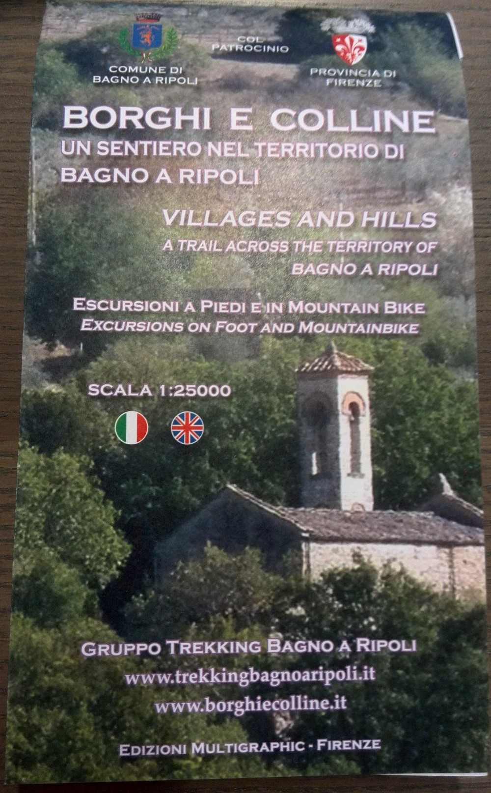
Villages and Hills – A trail in the Bagno a Ripoli area
Available in Italian and English
Scale: 1:25000
Open size: 70×100
Folded size: 12.5×20.5
Edizioni Multigraphic – Firenze
Price: € 12 including shipping charges in Italy
€ 13 including shipping in Europe and Mediterranean countries
€ 14 including shipping to Asia, Africa, America.
Payment by bank transfer.
To purchase or for more information fill out the form:
Fill out the form to order your copy
[si-contact-form form=’3′]
An excerpt of the trail from Fattucchia to San Martino
Access from Ponte a Niccheri, the parking lot of Via di Belmonte
Length: 9,980 Km
Altitude difference: uphill 333m, downhill 320m
Duration: 3 hours and 30 minutes
[mapsmarker layer=”10″]
Privacy
In implementing Art. 7 and 13 of the Legislative Decree no. 196/03, concerning the protection of persons and other subjects with regards to the processing of personal data, the Applicant gives consent to the processing of their personal data, directly or through third parties, to comply with obligations under law, regulation or legislation, and also for the following purposes: the elaboration of studies and statistical and market research; the sending of advertising and informative material; direct sales or product or services placement; the sending of business information; the use of interactive commercial communications. The user may at any time revoke the consent and/or oppose the processing of their personal data, subject to eChianti’s right to consider resolved the present access license.


